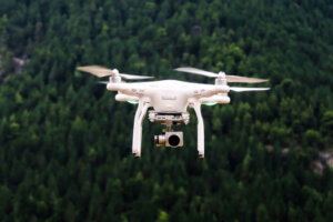
 UAV aircraft, also known as “drones,” are used extensively to explore and map out terrains where it is too dangerous for people to travel. However, the definition of UAVs can also be extended to outer space as well, where satellites can take even better and higher quality pictures.
But in response to this ever-growing market, there is yet another which is growing as well, which is just the direct opposite of the UAV. This is known as the Anti-Drone, and possesses “. . . net-firing bazookas, electromagnetic shields, and anti-drone death rays.”
In fact, it is forecasted that the Anti-Drone market will reach a capitalization of almost $1.9 Billion by 2024. Because of this, there is a great fear of what these Anti-Drones can do. For example, they can be used to collide with commercial aircraft, and possibly even drop small bombs on residential areas. Probably the greatest fear of these Anti Drones is that they can be used in a very covert and unsuspecting manner.
As a result, the United States Federal Government is spending an enormous amount in terms of money and time in order to detect these anti-drones and thwart them off before they cause any real harm. So far, they haven’t done it, though.
It is not just the residential areas which is primarily concerned, but airports all across the United States (and even worldwide), and rural farmlands and other major agricultural hubs have also raised serious concern as well.
However, before people and entities go and initiate themselves into an attack posture, the detection and the intentions of these Anti-Drones is necessary. For example, a Drone or UAV which is flying overhead purely for conducting GIS research could very well be confused as an Anti-Drone. In order to do this, technology is also being developed which can detect acoustic signatures, and other electromagnetic countermeasures (such as microwaves).
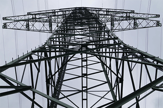
GeoTel Communications, LLC, is the leading provider of telecommunications infrastructure data in a geographic information system (GIS) and internet-based spatial technologies for over 15 years. GeoTel takes telecom infrastructure data and makes it tangible. By layering this data in GIS software or by viewing it in one of our web-based platforms, we make it possible to analyze detailed fiber optic maps and other telecom data sets throughout America. These integrated data sets are digitized onto the highest quality street data and aerial imagery available, providing companies and government entities with the leverage and insight necessary to make informed location-based and fiscally sound decisions.