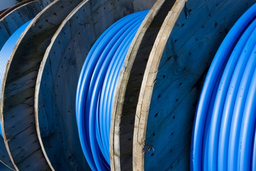
Carrier Fiber Routes
GeoTel’s Carrier Fiber Routes dataset illustrates the fiber network with enhanced geospatial accuracy and the most up-to-date information.

Fiber Lit Buildings
GeoTel’s Fiber Lit Building (FLB) dataset highlights on-net buildings and near-net buildings lit with fiber.

Cell Tower Locations
GeoTel’s Cell Tower dataset showcases multiple types of cell towers to include 5G and small cell.

Data Centers
GeoTel’s dataset consists of locations that contain physical facilities that public and private organizations use to store their servers, cloud bandwidth, and applications.

Broadband Wireless
The Broadband Wireless dataset showcases high-speed connectivity, delivering swift and reliable internet access without the constraints of traditional wired networks.

Broadband Terrestrial
This dataset showcases high-speed and reliable internet connectivity, seamlessly bridging the digital divide with provider-based terrestrial data solutions.

Central Offices
Central Office locations are the main offices of local exchange carriers. Other telecom and cable company equipment also is housed in the facility.

Submarine Cables & Landings
These datasets include submarine cables, submarine landings, and systems providing information on where links connecting continental communications originate and terminate.

Wire Center Boundaries
The Wire Center Boundaries dataset consists of the basic unit of telecommunications geography and is the geographic area served by equipment within a Central Office.

Cable Operating Areas
GeoTel’s Cable Operating Areas dataset represents the actual serving territory for cable operators who serve more than one community.

LATA Boundaries
GeoTel’s Local Access Transport Area Boundary dataset provides information that determines which telecommunication companies can provide local and toll services within boundaries regulated by authorities.

Area Code Boundaries
This dataset consists of boundary polygons representing the geographic area covered by U.S. area codes. This represents the first 3 digits of a phone number also known as NPA.
Interested in a
Free Live Demo?
Experience firsthand how our comprehensive telecom datasets, advanced analytics, and user-friendly platforms can empower your business.
See how telecom data can benefit your organization today!