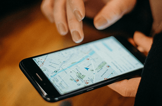
When it comes to instantaneously finding places or getting directions on how to get from Point “A” to Point “B “on the Internet, Google Maps is probably one of the best GIS based tools out there. It is very to use from either your computer or wireless device and, best of all, it’s free.
Back in 2007, Google launched a special project called “Street View.” The goal of this was to offer the end user of Google Maps a 360 degree panoramic image of many famous locations from around the world.
During this timeframe the Google team responsible for this massive GIS based project has literally travelled more than seven million miles across sixty six countries around the world. They have even gone to the extreme geographic locations of both Antarctica and the Arctic.
To do this, Google partnered with an organization known as “Tauck River Cruising” in order to capture spectacular images from the Danube River. In order to launch this scientific endeavor, technicians from Google, as well as another business known as “Scylla AG” mounted various Trekker cameras (which were also developed and created by Google) to the boats belonging to Tauck River Cruising.
Images captured from the various Trekker cameras along the Danube River included panoramic shots of the Bratislava Castle in Bratislava, Slovakia, the Chain Bridge and the Hungarian Parliament Building (both of which are located Budapest, Hungary), as well as the Franciscan Monastery and the Church of St. Philip in Vukovar, Croatia.
According to Dan Mahar, the CEO of Tauck River Cruising, “Google is a true innovator and an undisputed leader in their field, and we like to think of ourselves in similar terms . . . we’re both continually pushing the boundaries in our respective industries, and it was great working with Google to chronicle Europe’s most iconic river – a place where Tauck has already brought great innovation.” (SOURCE: http://www.directionsmag.com/pressreleases/google-maps-teams-up-with-tauck-river-cruising-to-capture-street-view-panor/439530).
At the present time, there are 10,000,000 + GIS based images on Street View, which are available to over 1,000,000,000 active users of Google Maps.
GeoTel is a telecommunications research and GIS mapping firm that researches and provides telecom datasets for more than 5,500 cities in the United States and worldwide. GeoTel’s expertise includes specialists in economic geography, geospatial engineering, web GIS, and telecommunications GIS Data infrastructure.

