Kentucky has experienced an unprecedented number of natural disasters over the past five years. Since 2008, ten presidentially declared disasters affected the state, ranging from tornadoes to severe winter storms. In the aftermath of these storms, emergency response and disaster relief are vital to saving lives.
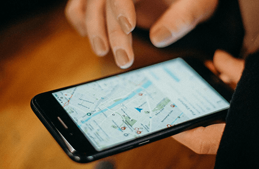
According to John Heltzel, director of the Kentucky Division of Emergency Management and a brigadier general in the Kentucky National Guard, the key to real-time situational awareness is online geographic information system (GIS) mapping technology.
During an emergency, GIS mapping software allows officials to share information and overlay data from various sources, like telecommunications, electric, water, or other utilities. These disaster modeling and planning capabilities allow responders to reduce initial response time.
“The idea is to look at things geospatially and things start to make a lot more sense,” Robert Greenberg of G&H International Services, a consulting firm providing technical support for Virtual USA, an initiative intended to establish collaboration and communications among federal, state, and local emergency responders, toldxconomy.com.
The Internet is imperative during and in the aftermath of a disaster. Using a telecom GIS map, officials can analyze which telecom assets are in critical danger, allowing them to shut off and reroute communications during a period when operations are very time sensitive.
Collecting and sharing emergency information and supporting first responders with GIS technology isn’t the only essential reason to keep Internet connectivity up during a disaster. The Internet helps people communicate with loved ones, find out how to help and access information about the event. Following the 2011 catastrophic EF5 Joplin Missouri tornado, which killed 158 people, left 1,150 injured, destroyed 25 percent of the town and left 75 percent damaged, Google saw search traffic at 58 percent of normal levels the day of the tornado and an immediate recovery toward normal Internet traffic within a day.
“When disaster strikes, people turn to the internet for information,” according to Google Crisis Response.
At GeoTel Communications, we digitize and layer telecommunications infrastructure data onto the highest quality street data available. Our coverage extends to more than 5,000 US cities and millions of miles of carrier fiber routes. Cities can use fiber network maps, fiber lit buildings, and other fiber data sets to help find alternative routes for Internet traffic during a natural disaster, like those in Kentucky. Call 407.788.8888 today for more information.

